Description
united kingdom vector map. Vector maps from Europe. Illustrator EPS files, fully editable from our european Country map database. All our digital cartography was created with Vector Adobe Illustrator
Vector eps City maps of the cities and countries of the world. More than 10 000 vector files
39.00 €
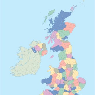
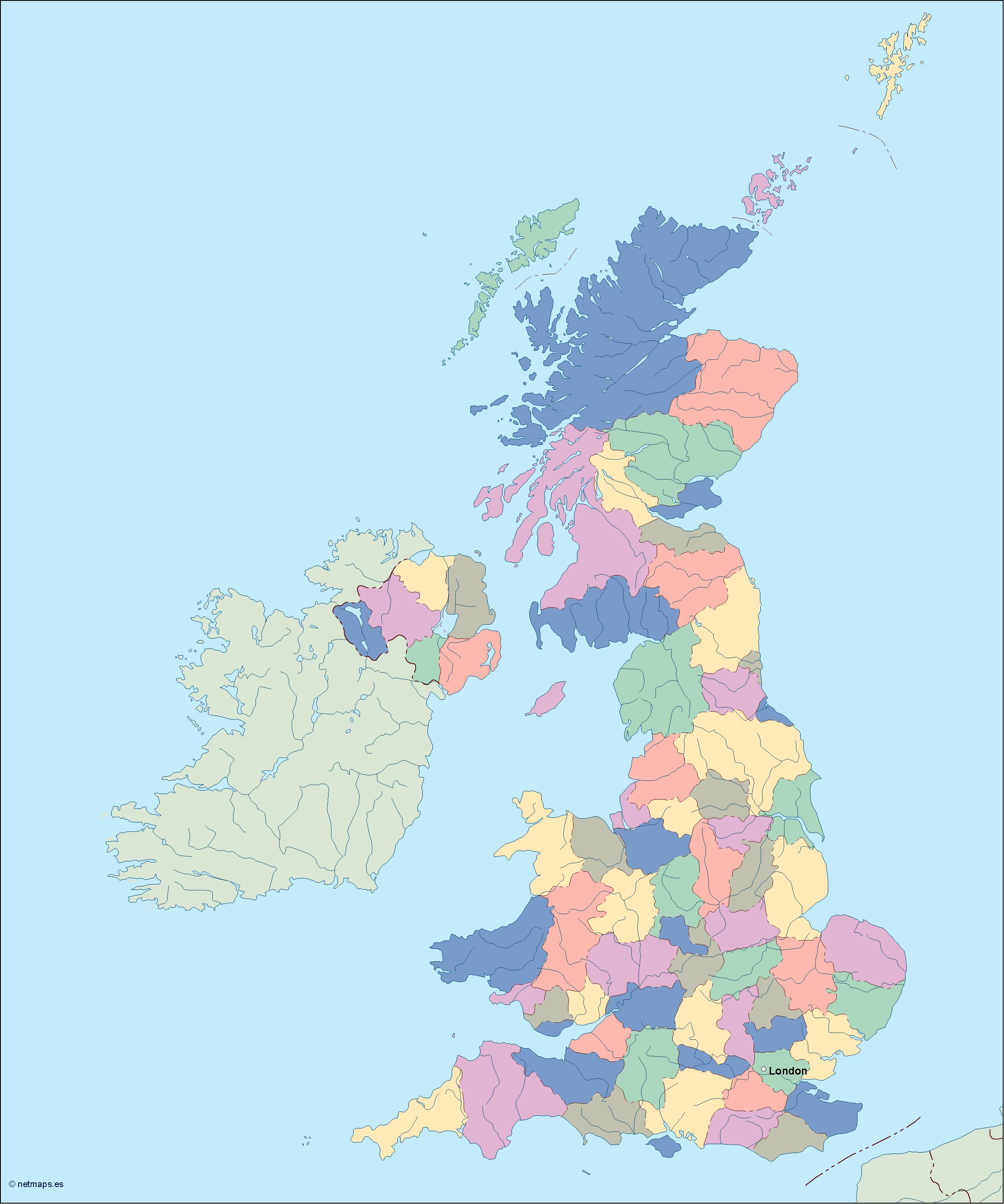
The United Kingdom is a country located in Europe, specifically in the northwestern part of the continent. It is composed of four countries: England, Scotland, Wales, and Northern Ireland. The capital of the United Kingdom is London, which is located in the southeastern part of England.
The United Kingdom is a highly developed country with a strong economy and a rich cultural heritage. It is known for its historic landmarks, such as Buckingham Palace, the Tower of London, and Stonehenge, as well as its vibrant cities, such as Manchester, Liverpool, and Edinburgh.
When it comes to creating an EPS vector map of the United Kingdom, there are several key features that need to be included. First and foremost, the map should clearly show the four countries that make up the United Kingdom: England, Scotland, Wales, and Northern Ireland. Each of these countries has its own distinct geography and cultural identity, so it is important to represent them accurately on the map.
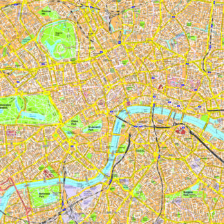
In addition to the four countries, the map should also show the major cities and towns throughout the United Kingdom. This includes London, Manchester, Birmingham, Glasgow, Edinburgh, Cardiff, and Belfast, among others. These cities are important economic and cultural centers, and they help to give the United Kingdom its unique character and identity.
Another important feature of the EPS vector map of the United Kingdom is the inclusion of major transportation routes. This includes highways, railways, and airports, which are essential for connecting the various regions of the country and facilitating travel and commerce.
Finally, the map should also include important natural features, such as rivers, lakes, and mountains. The United Kingdom is home to a diverse range of landscapes, from the rolling hills of the English countryside to the rugged peaks of the Scottish Highlands. These natural features help to give the country its unique character and beauty.
Overall, creating an EPS vector map of the United Kingdom requires careful attention to detail and a deep understanding of the country’s geography, culture, and history. By accurately representing these features on the map, it is possible to create a powerful tool for anyone looking to explore or do business in this fascinating and dynamic country.
united kingdom vector map. Vector maps from Europe. Illustrator EPS files, fully editable from our european Country map database. All our digital cartography was created with Vector Adobe Illustrator