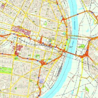
St Louis eps map vector
390.00 €
The St Louis eps map vector is a high-quality map of the city of St Louis, Missouri, available for purchase on epsmaps.com. This map is created using Adobe Illustrator vector format, which allows for easy customization and scaling without losing resolution.
St Louis is located in the eastern part of Missouri, near the border with Illinois. The city is known for its iconic Gateway Arch, which stands at 630 feet tall and is a symbol of the city’s role as the “Gateway to the West.”
The St Louis eps map vector includes all of the major streets and highways in the city, as well as important landmarks such as parks, museums, and universities. Some of the main streets in St Louis include Market Street, Olive Street, and Lindell Boulevard.
This map is an essential tool for businesses and professionals who need accurate and detailed information about the city of St Louis. With its high-quality vector format and comprehensive coverage, the St Louis eps map vector is a valuable resource for anyone who needs to navigate the city or plan a project in the area.


