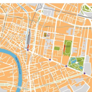
Philadelphia city eps map vector
65.00 €
The Philadelphia city eps map vector available on epsmaps.com is a high-quality map designed for professional use. It is created using Adobe Illustrator, making it a vector format that can be scaled to any size without losing resolution. This map is also available in eps format, which is a standard file format for vector graphics.
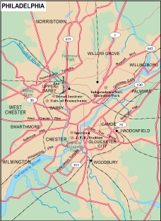
Philadelphia is located in the state of Pennsylvania in the United States. The city is known for its rich history, cultural attractions, and vibrant neighborhoods. Some of the main streets in Philadelphia include Broad Street, Market Street, and Chestnut Street.
The Philadelphia city eps map vector includes detailed information about the city’s streets, neighborhoods, and landmarks. It is an ideal tool for businesses and professionals who need to navigate the city or plan events and activities. The map is easy to read and includes clear labels for streets, parks, and other points of interest.
Overall, the Philadelphia city eps map vector is a valuable resource for anyone who needs to navigate the city or plan events and activities. Its high-quality design and detailed information make it an essential tool for businesses and professionals in Philadelphia.
